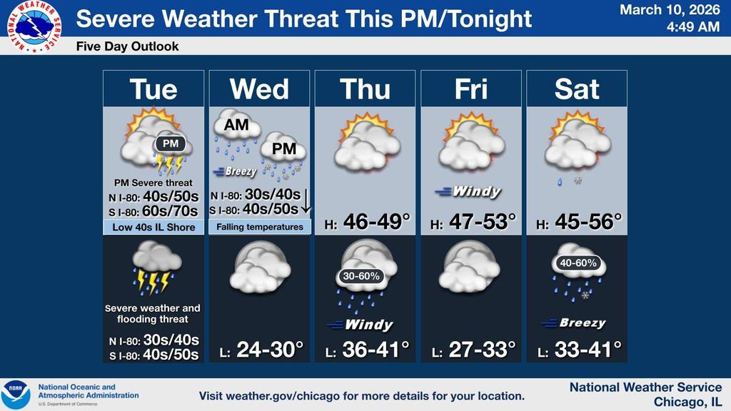
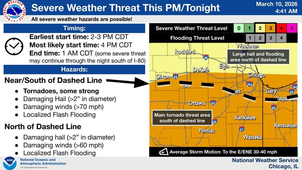
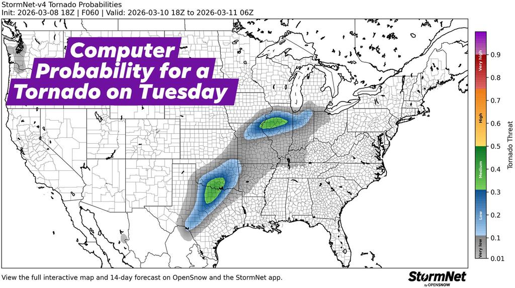
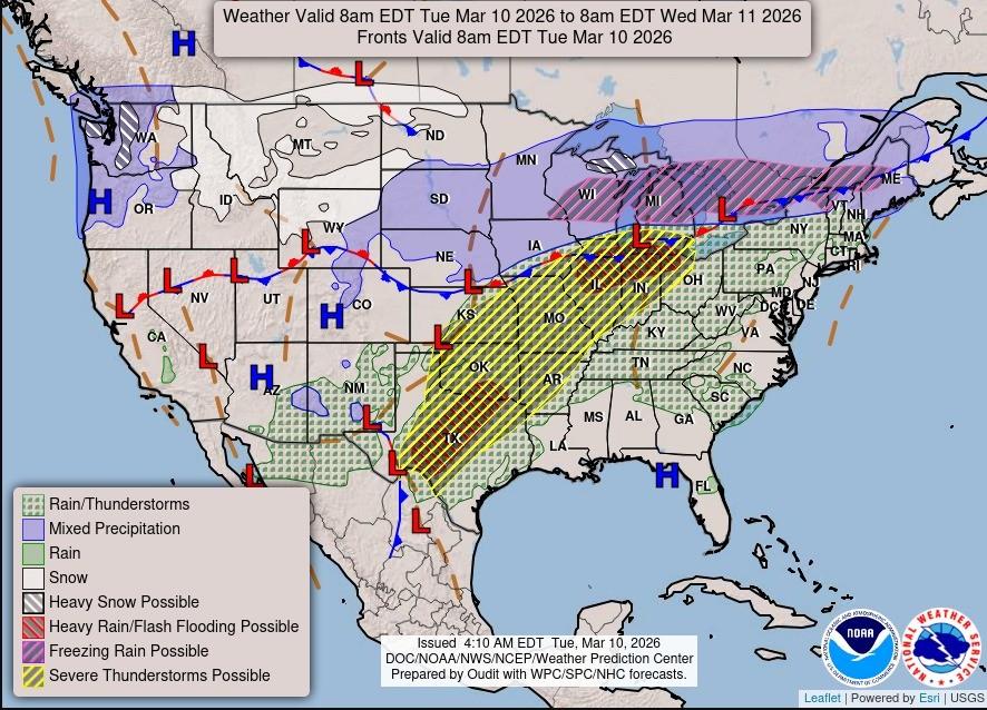
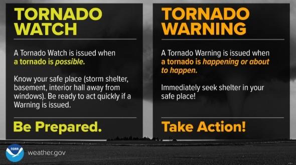
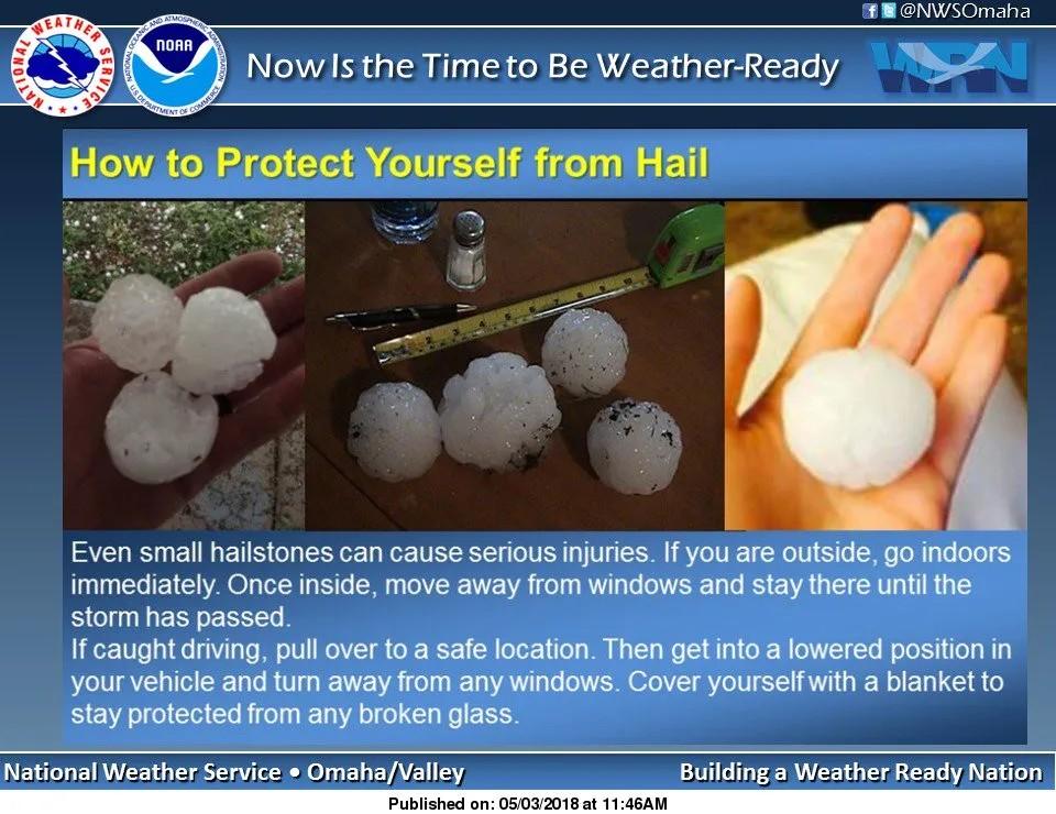
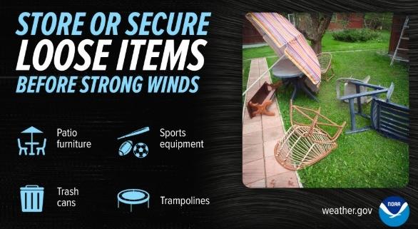
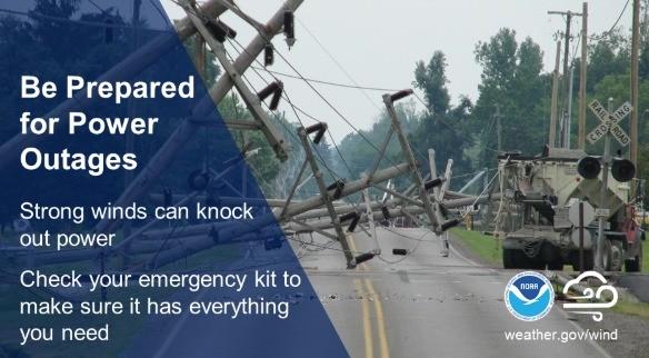
| Thunderstorms for our area today some may be Severe. The earliest start time may be 2-3 pm, but most likely starting nearer to 4 pm. The National Weather Service is predicting, Damaging Hail and Winds (up to 60 mph), Torrential Rainfall, Localized Flash Flooding and Intense Storms that may produce Tornados.
The main overnight change for our area from yesterday's forecast, is the Warm Front has Shifted North to the Southern edge of Kane County which Elevated Southern Kane County to a higher level in the Severe Weather Category. The Warm Front still may shift to the North or South. The More Severe Storms will be along and South of the Warm front. The Higher risk of Tornadic activity will be South of the Warm Front.
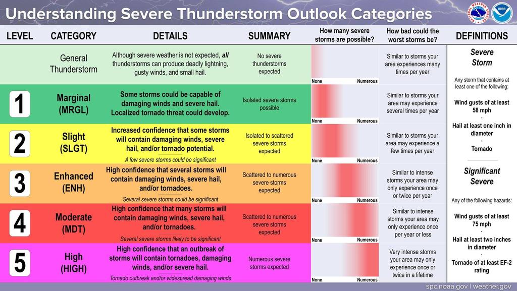
The Entire Fire District is in the Level 2 area of the Severe Weather Level Categories, but with the shift in the Warm Front, the Level 3 Category is just at the edge of the South Border of the Fire District.
We will inform you of any Forecast Changes as they come in. |