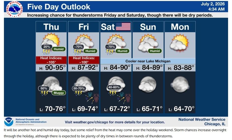
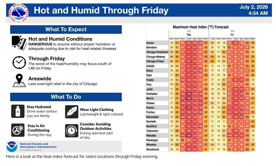
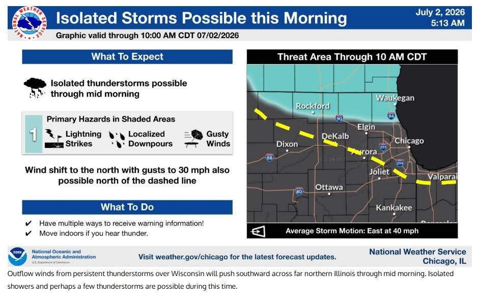
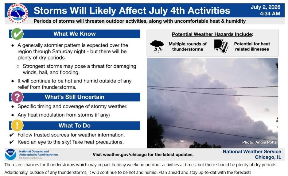
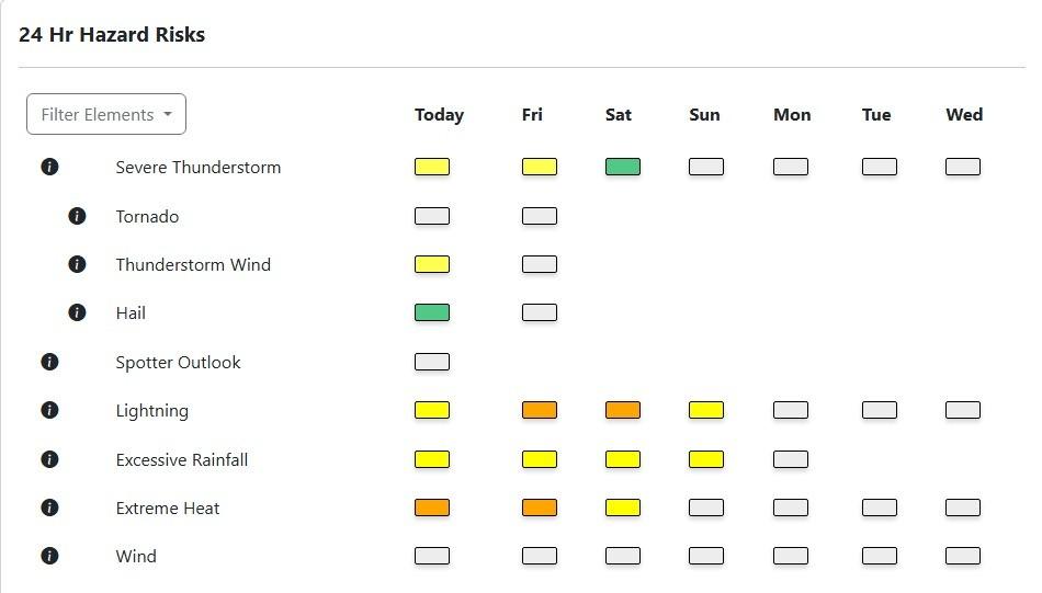
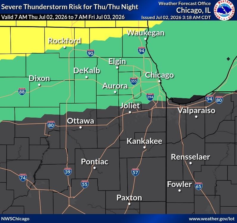
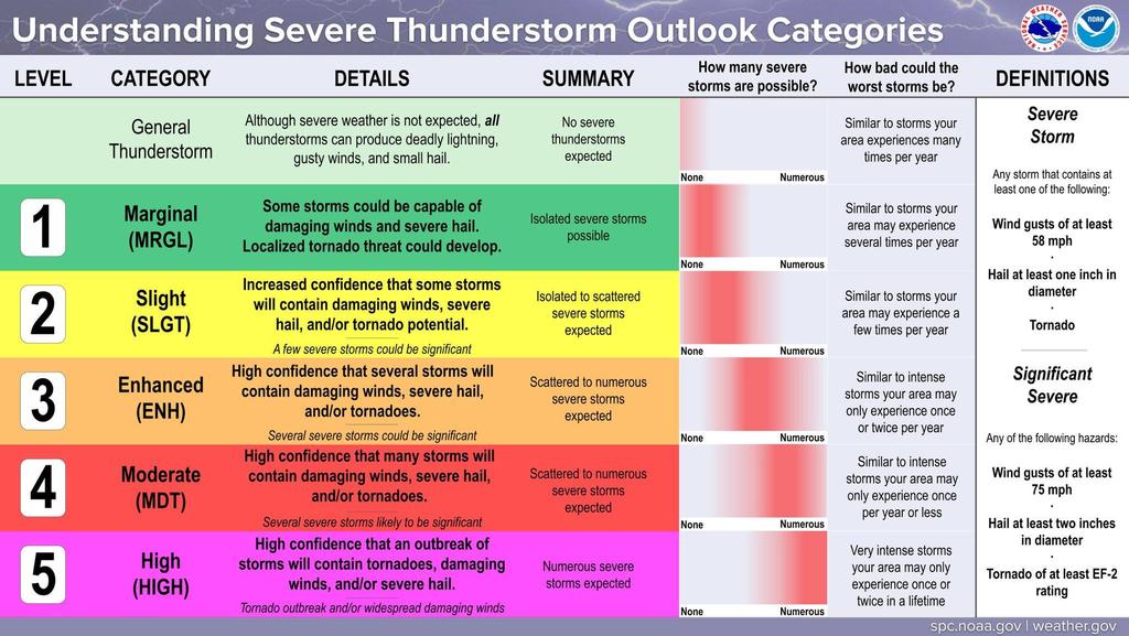
| Hot & Humid today. The National Weather Service has issued an Extreme Heat Warning for today, with Heat index above 100. There are Chances of Thunderstorms and a Marginal Risk (Level 1) for Severe Thunderstorms. High Winds expected with Gusts up to 30 MPH for the entire Fire District.
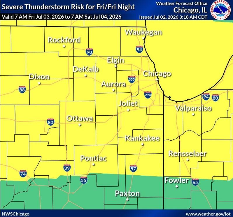
Tomorrow Hot & Humid with Heat indices just over 100. There are chances of Thunderstorms with some being Severe. The Fire District is in the Slight Risk (Level 2) for Severe Storms. The National Weather Service will most likely issue a Extreme Heat Warning for our Area.
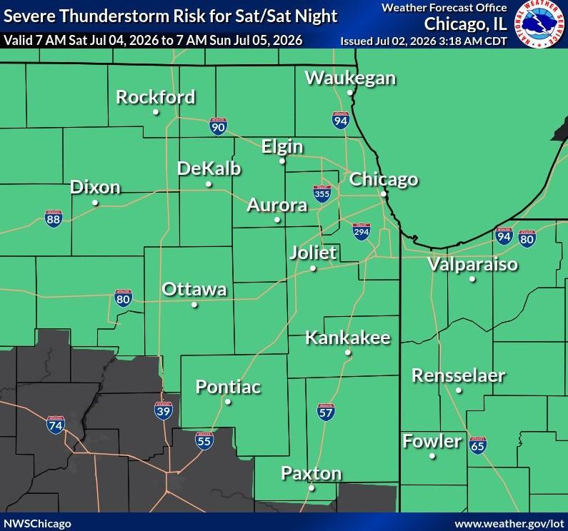
Saturday the 4th of July still Hot but not as Hot as it has been. Humid with the Heat index being under 100. The forecast is for a Stormy evening and night with the possibility of Strong Storms the Risk is Marginal (Level 1). Areas that do not have any Thunderstorms will continue to be Hot & Humid. |